It is important to note here that before any clearing or sediment removal can begin the affected stream sections must be cleared of any fish that might be present. The fish that were collected were kept alive in stream holding areas unaffected by the maintenance activities. The method of collection was electrofishing.
To the extent possible I will present references to the various activities with photographs.
Kramer Creek
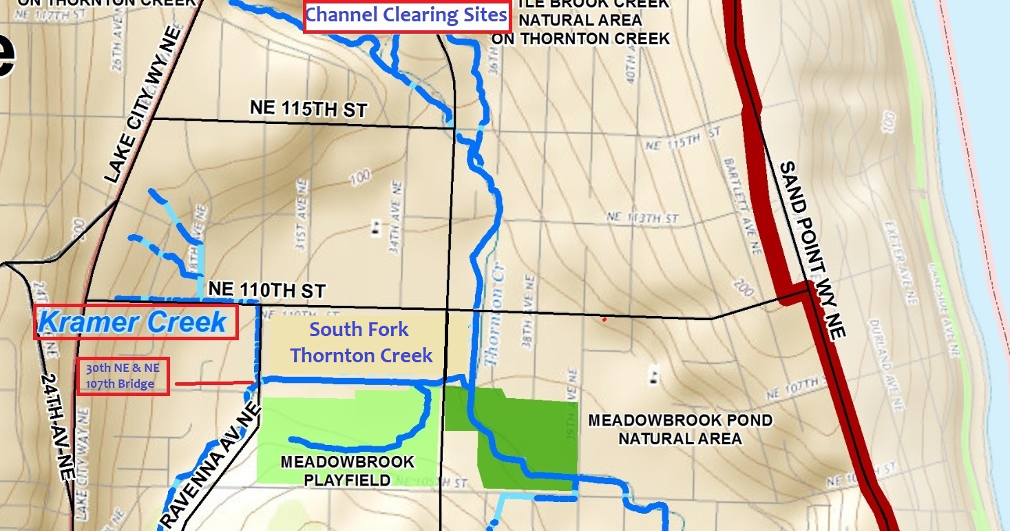
Kramer Creek is a small, short tributary to the South Fork of Thornton Creek (SFTC). It begins as several small tributaries along the eastern edge of Lake City Way between NE 110th and NE 115th Streets which eventually together at 28th Ave NE and NE 110th essentially as a perennially-flowing ditch which flows along the north side of NE 110th until it hits the 4-way stop at 30th Ave NE. Here it takes a right turn and flows, also as a ditch, south for a block before it joins SFTC.
On Monday morning July 20th, Kramer Creek was electrofished prior to commencement of channel mucking. Photo 1 show a two man team conducting the work in a heavily over grown channel, while Photo 2 shows the extent of vegetation encroachment into the channel that they had to work in and serves as a “before” picture. Interestingly, numerous small specimens of local cutthroat trout (Onchorhynchus clarki ) were collected and retained for return after channel clearing was completed.
Photo 3 shows a backhoe with a flat blade as the primary implement used in removing channel vegetation and accumulated sediment from this stretch of Kramer Creek. Several truck loads were removed. Photo 4 shows what the channel looked like after channel mucking was completed. Certainly this will provide a less obstructed path for high flows during the rainy season.
South Fork Thornton Creek at the NE 107th Street and 30th Ave NE Bridge
This location lies just downstream of a stream segment that contains fish habitat improvement structures and upstream from the channel and habitat improvements that occurred in 2013 -14 in association with SPU’s “Confluence Project,” which in addition to creating a more meandering channel and restoring the wetlands, included installation of new salmon spawning gravelly substrates. The stretch of the creek just downstream of the bridge is on Seattle Public School property (Nathan Hale HS) and runs in a totally straight channel for about 150 yards before the Confluence Project channel improvements begin.
The main channel maintenance objective for the South Fork at this location was the removal of accumulated sediment and small gravels from a 25 to 30 foot long segment immediately downstream from the bridge (See Photos 5 & 6). This action was accomplished by also using a backhoe with a flat-edge bucket. Unfortunately, I was not able to get a “before” photo, but essentially the water was flowing at no more than six inches in depth over mixed gravel substrates (a riffle). It appeared, however, that a good 50 to 60 cubic yards were removed with the maximum depth at or around four feet (personal communication, C. Pier, SPU, July 2020). This should allow coarse sediments and small to medium gravels to fall out of the water column, which in turn will help to maintain channel capacity and reduce the amount of sediments that could cover the downstream salmon spawning gravels. Upstream of the bridge, less aggressive sediment removal was done using a Vactor-truck (Photo 7).
It is important to note that flows in of both creeks were diverted around the affected reaches by a block dam and pump system (Photo 8).
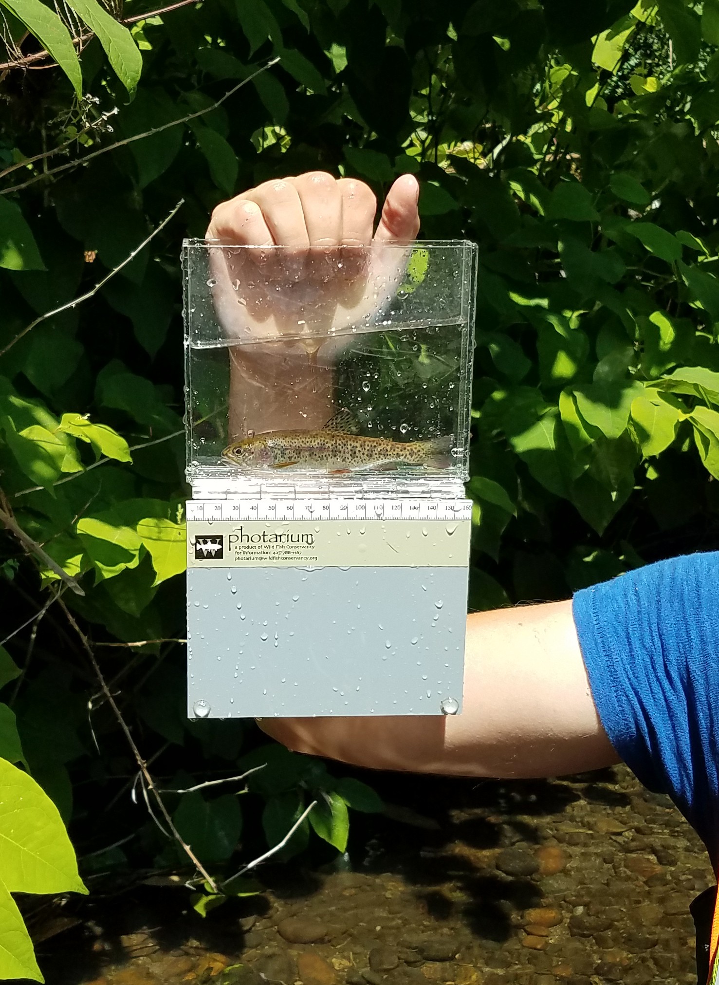
As with Kramer Creek, fish removals from the project affected areas in the SFTC were done before starting sediment removal activities. Interestingly, in the segment downstream of the bridge, over 60 cutthroat trout were collected according to the workers from Wild Fish Conservancy who were doing the electrofishing. Photo 9 shows the electrofishing effort in the upstream segment while Photo 10 shows a nice sized trout (6 to 7 inches) that was among the many that were collected. According to Chapin Pier, SPU, about 200 total fish combined were collected from Kramer and South Fork Thornton creeks (personal communication, C.Pier, July 2020).
Summary
During the week of July 20th to 24, SPU conducted channel clearing of heavy vegetation and accumulated sediments in Kramer Creek just upstream from its confluence with the SFTC. SPU also removed sediment and small gravels from the SFTC at locations just up and downstream from the bridge on 30th Ave NE. These activities will enhance stream flows and reduce localized flooding during the rainy season as well as protect the spawning gravels recently installed by SPU in association with its Confluence Project from sediment smothering.
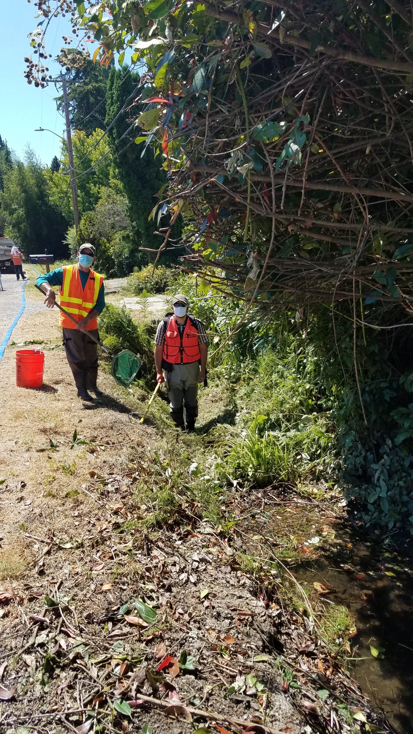
Photo 1 – SPU staff with electrofishing gear for Kramer Ck.
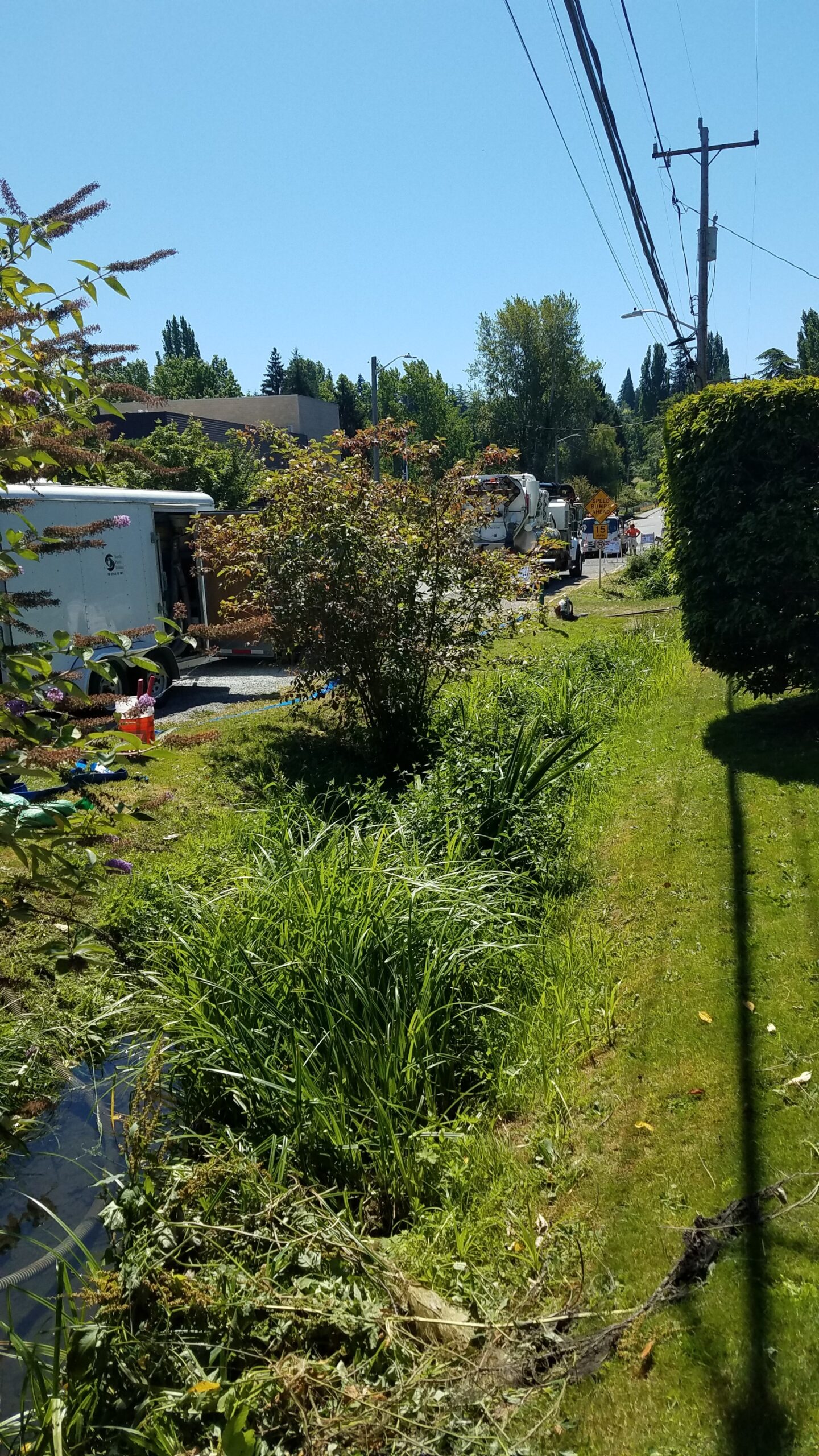
Photo 2 – Extensive vegetation growth clogging Kramer Ck channel before clearing.
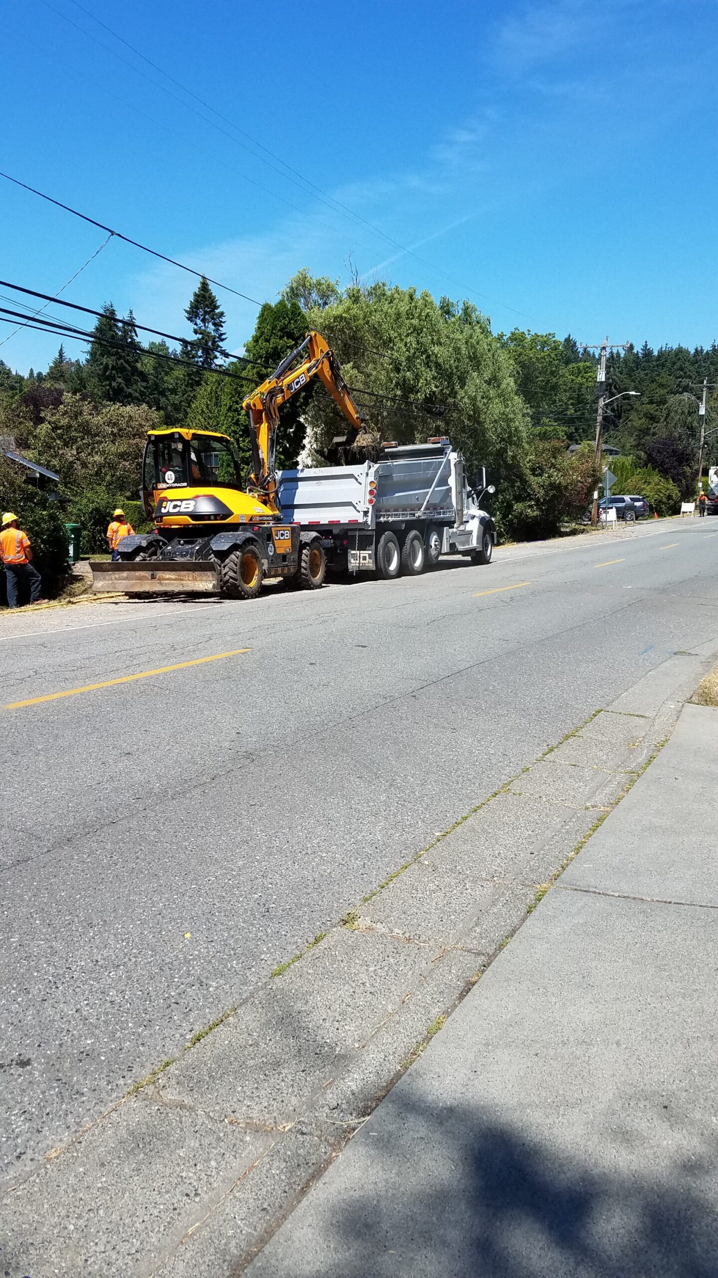
Photo 3 - Workers using backhoe with a flat blade bucket to remove vegetation and excess sediment.
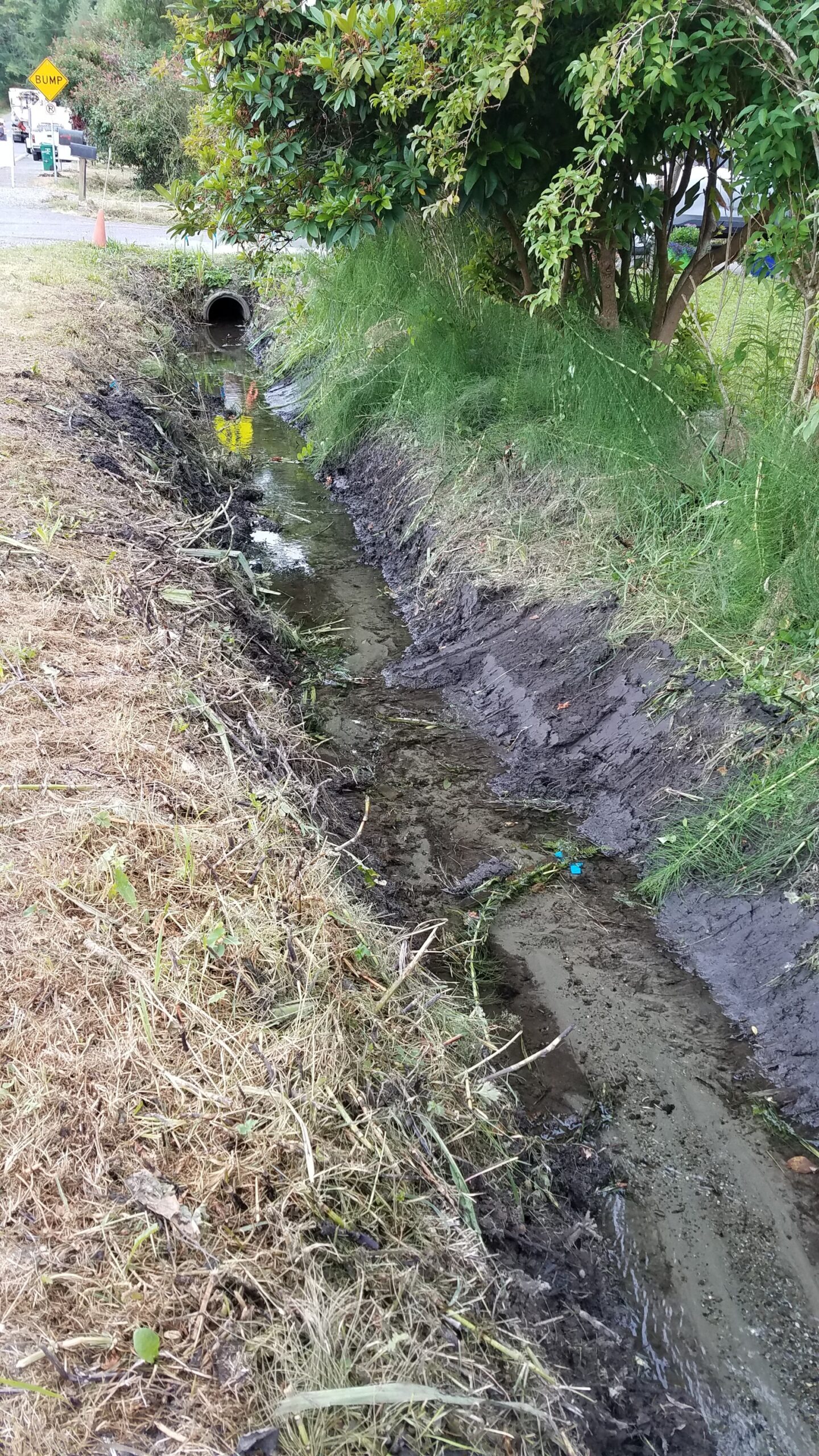
Photo 4 - Kramer Creek's channel after clearing activities
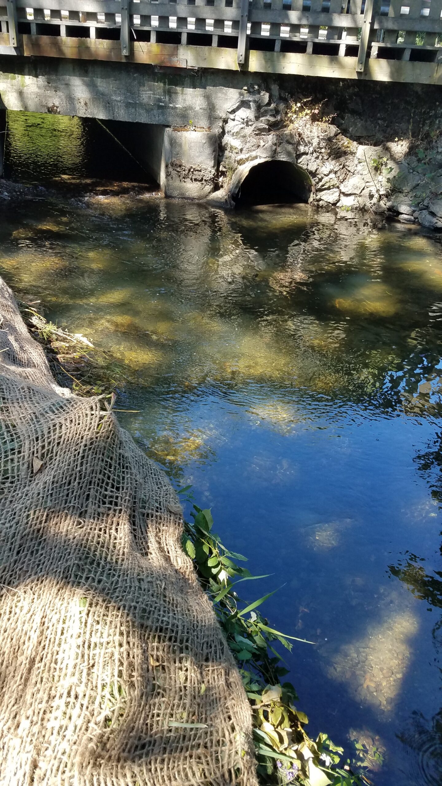
Photos 5 - Excavated hole in So. Fk. Thornton Ck. immediately downstream of 30th Ave Ne bridge
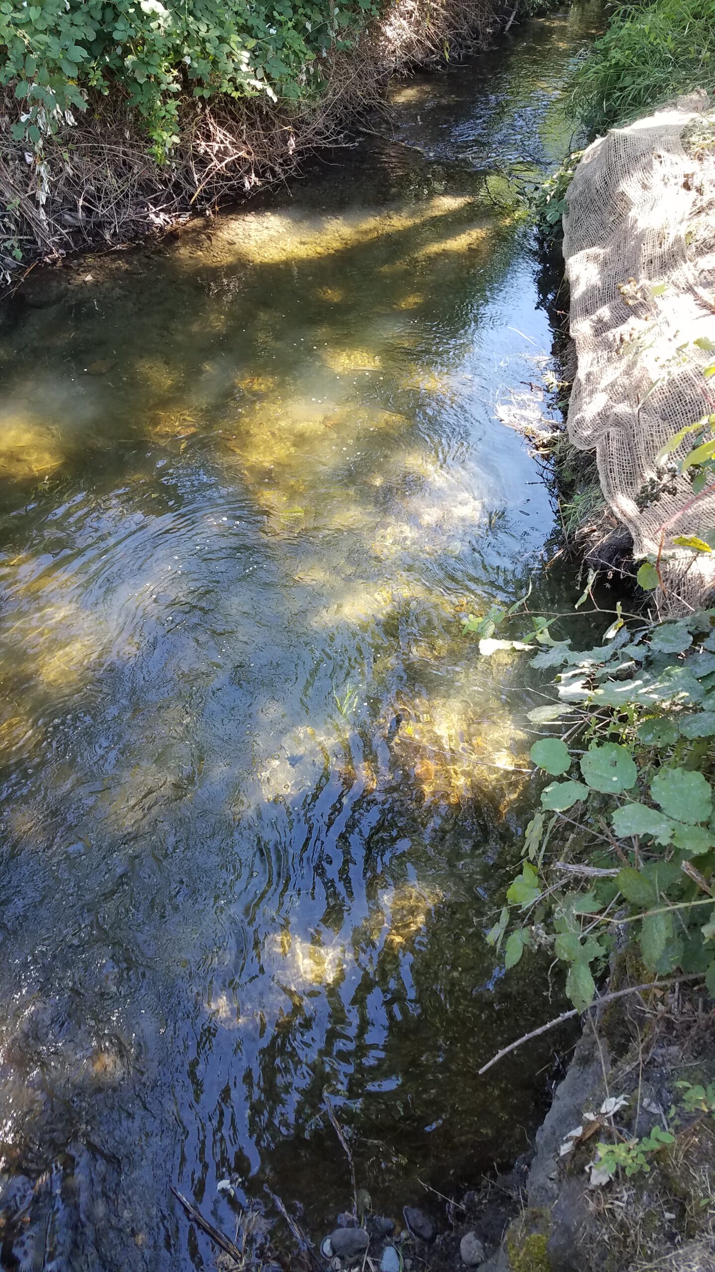
Photos 6 – Excavated hole in So. Fk. Thornton Ck. immediately downstream of 30th Ave Ne bridge.
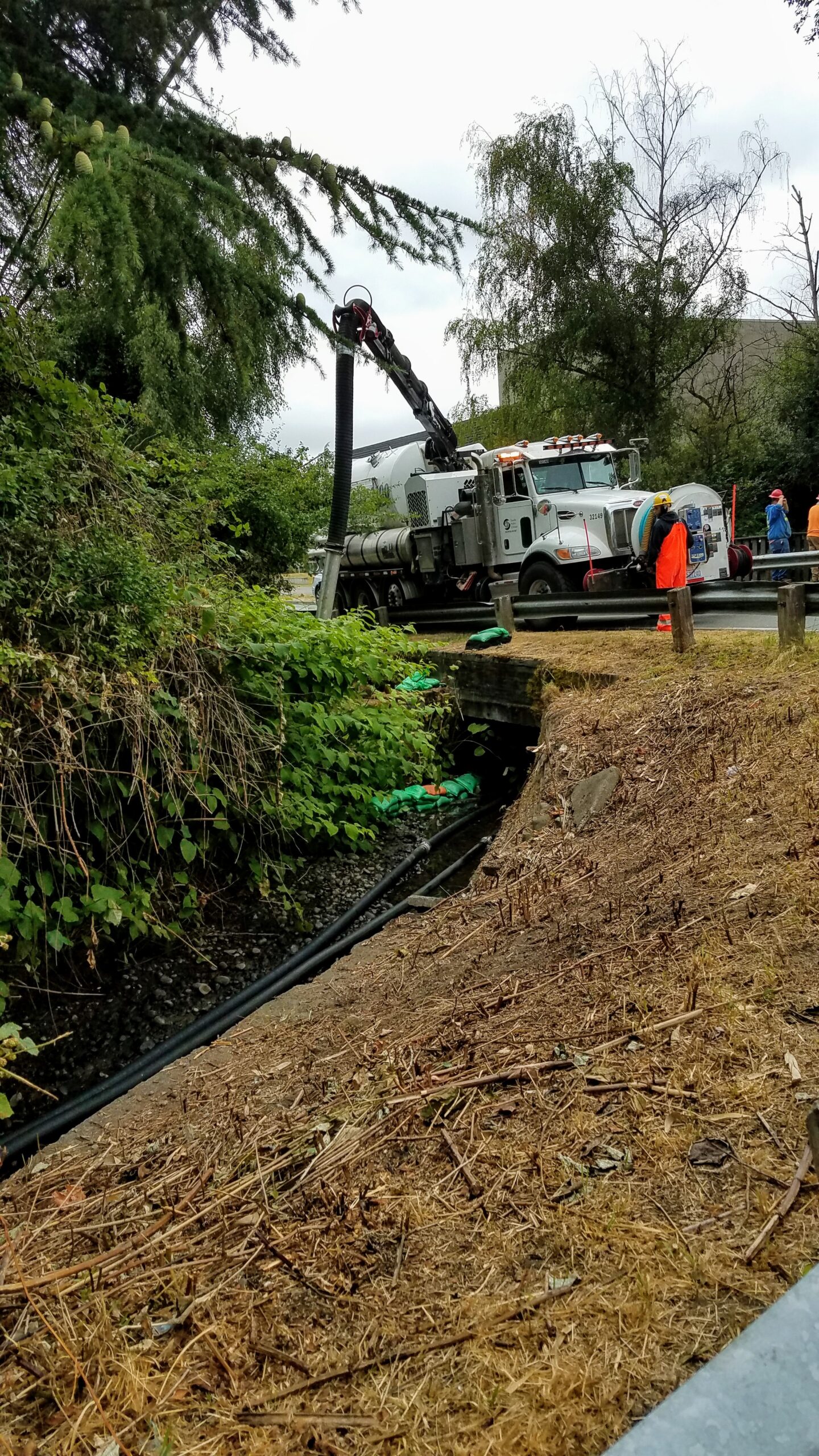
Photo 7 – Sediment removal using a Vactor truck in So. Fk. Thornton Ck, just upstream of 30th Ave Ne.
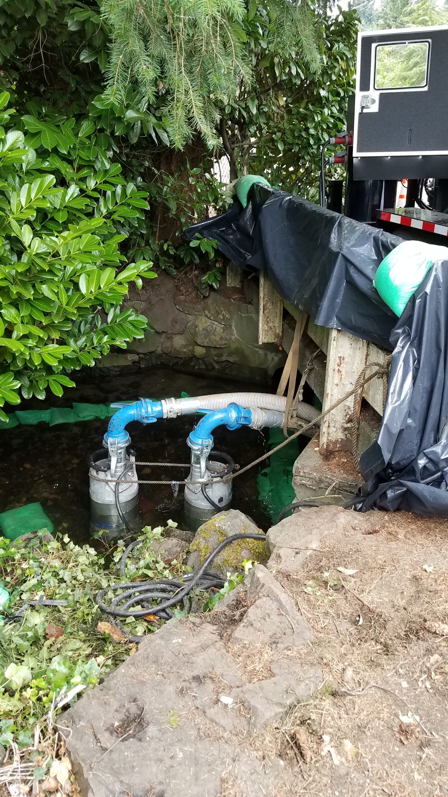
Photo 8 – Temporary dam and pump system to divert flow around work area.
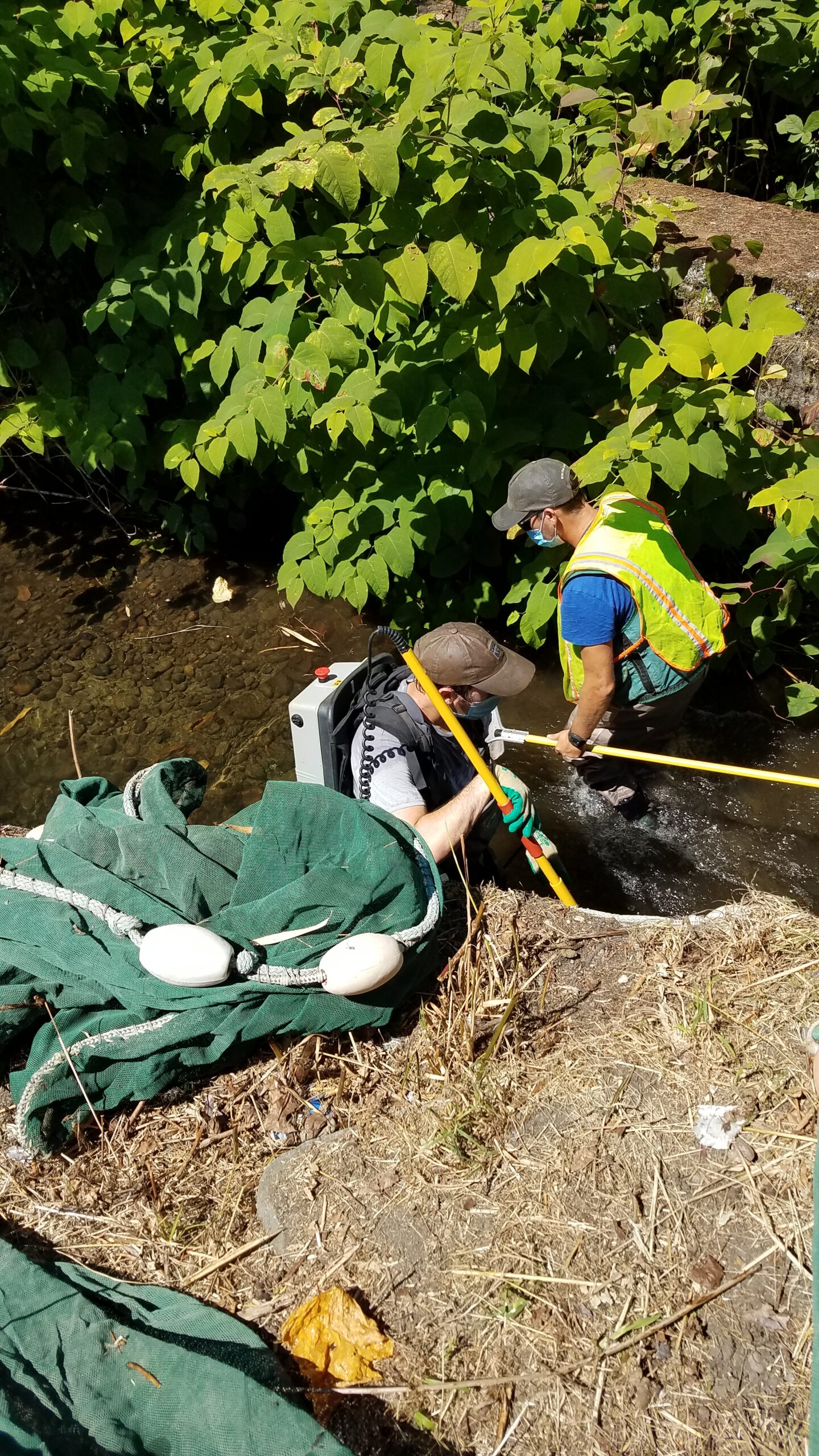
Photo 9 – Electrofishing team in section of So. Fk. Thornton Ck., upstream of 30th Ave Ne bridge.
